Nautical charts
Detailed maps specially designed for navigation at sea. They show water depths, coastlines, buoys, beacons, and other important information for safe navigation.
Explore a comprehensive collection of charts and maps to navigate the seas with precision and safety. Whether you're a seasoned sailor or a novice boater, discover detailed nautical charts tailored to your region, providing essential information on depths, currents, landmarks, and navigation aids. From the coasts to offshore passages, find the right chart to plan your voyages and explore the waters with confidence
Shop By
 NV Atlas Atlantic ATL2 - Vigo to GibraltaSpecial Price €74.20 Regular Price €74.28
 NV Atlas Atlantic ATL1 - Falmouth to Vigo / North Coast of SpainSpecial Price €74.20 Regular Price €74.28
 NV Atlas Greece GR1 - Ionian Islands & Peloponnese to AlbaniaSpecial Price €74.20 Regular Price €75.13
 NV Atlas Greece GR2 - Cyclades to Crete & AthensSpecial Price €74.20 Regular Price €74.28
 NV Atlas Baltic Serie 2 Lübecker Bucht - Bornholm - KopenhagenSpecial Price €93.28 Regular Price €94.11
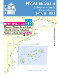 NV Atlas Spain ES2 - Balearic Islands - Ibiza to MenorcaSpecial Price €63.60 Regular Price €64.38
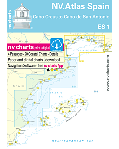 NV Atlas Spain ES1 - Cabo San Antonio to Cabo CreusSpecial Price €63.60 Regular Price €64.38
 Imray C19 A Coruña to GibraltarSpecial Price €34.98 Regular Price €37.63
 Imray C20 Strait of Gibraltar to Archipélago dos Açores & Islas CanariasSpecial Price €34.98 Regular Price €37.63
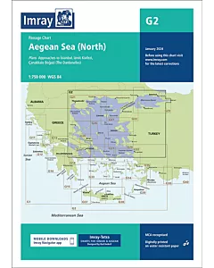 Imray G2 Aegean Sea (North)€28.47
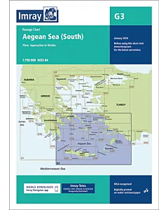 Imray G3 Aegean Sea (South)€28.47
 Imray E2 Islas CanariasSpecial Price €29.57 Regular Price €31.09
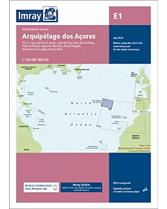 Imray E1 Arquipélago dos AçoresSpecial Price €29.57 Regular Price €31.09
 Imray E4 Arquipélago de Cabo VerdeSpecial Price €29.57 Regular Price €31.09
 Imray E3 Arquipélago da MadeiraSpecial Price €29.57 Regular Price €31.09