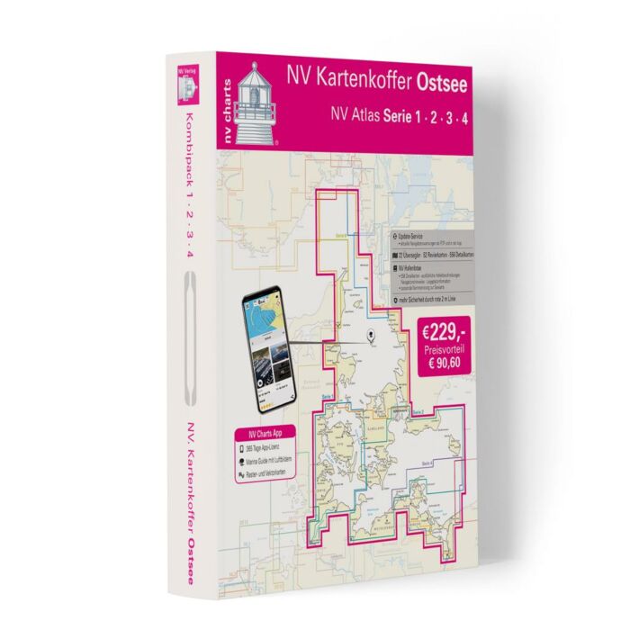
NV Charts Baltic Sea Box Region 1-4
Details
For all those who like to save and whose district is called the German and Danish Baltic Sea. With the Baltic Sea Case Series 1-4 our single map sets are offered to you. That means you get one series for free. With the case you can concentrate on our most beautiful places on the Baltic Sea for the whole season and have the opportunity to venture into areas you don t even know yet. The cruise from west to east or vice versa can begin.
The handy recreational boat charts are a chart series specially designed for recreational boating. Charts for the Baltic Sea sea area include nautical charts in various scales as well as all harbour plans and details for approaches and passages in the waters. In addition clearance heights for bridges power lines etc. as well as all nautical and navigational information are included. Thanks to the clear structure the recreational skipper can quickly find approaches harbours and anchorages and is pointed to navigationally important details that also appear in the NV Charts app. The chart series impresses with its detailed scales and optimal sheet sections.
The Baltic Sea case includes
- 20 Passage Charts
- 42 Coastal Charts & detailed charts
- nv charts app and navigation software 365 days licence
- The Sötze 1-4 in a practical case
- new: Vector charts download
- Harbour pilot in paper / digital in German and English
- Navigation instructions in German
- Meets legal requirement for up-to-date paper charts on board pleasure boats
More Information
| Area | Baltic |
|---|---|
| Supplier ref | 1711 |
| EAN code manufacturer | 9783940644762 |
| Brand | NV Charts |
| Product weight (kg) | 2.0000 |


