
Nautical charts
Detailed maps specially designed for navigation at sea. They show water depths, coastlines, buoys, beacons, and other important information for safe navigation.
Explore a comprehensive collection of charts and maps to navigate the seas with precision and safety. Whether you're a seasoned sailor or a novice boater, discover detailed nautical charts tailored to your region, providing essential information on depths, currents, landmarks, and navigation aids. From the coasts to offshore passages, find the right chart to plan your voyages and explore the waters with confidence
Shop By
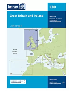 Imray C80 British IslesSpecial Price €34.98 Regular Price €37.63
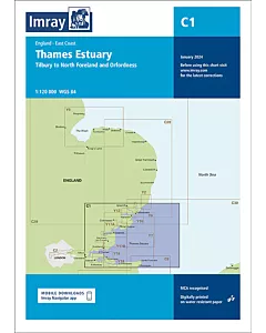 Imray C1 Thames EstuarySpecial Price €34.98 Regular Price €37.63
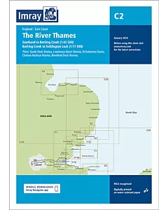 Imray C2 The River ThamesSpecial Price €34.98 Regular Price €37.63
 Imray C3 Isle of WightSpecial Price €34.98 Regular Price €37.63
 Imray C4 Christchurch to Portland BillSpecial Price €34.98 Regular Price €37.63
 Imray C5 Portland Bill to Salcombe HarbourSpecial Price €34.98 Regular Price €37.63
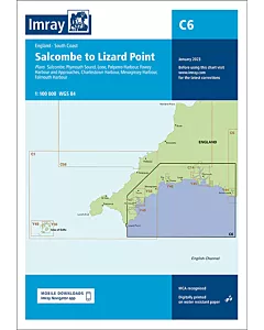 Imray C6 Salcombe to Lizard PointSpecial Price €34.98 Regular Price €37.63
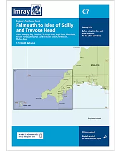 Imray C7 Falmouth to Isles of Scilly and Trevose HeadSpecial Price €34.98 Regular Price €37.63
 Imray C9 Beachy Head to Isle of WightSpecial Price €34.98 Regular Price €37.63
 Imray C14 Plymouth Harbours and RiversSpecial Price €34.98 Regular Price €37.63
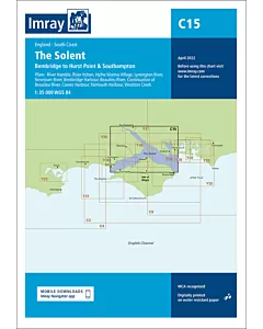 Imray C15 The SolentSpecial Price €34.98 Regular Price €37.63
 Imray C23 Fife Ness to Duncansby HeadSpecial Price €34.98 Regular Price €37.63
 Imray C24 Flamborough Head to Fife NessSpecial Price €34.98 Regular Price €37.63