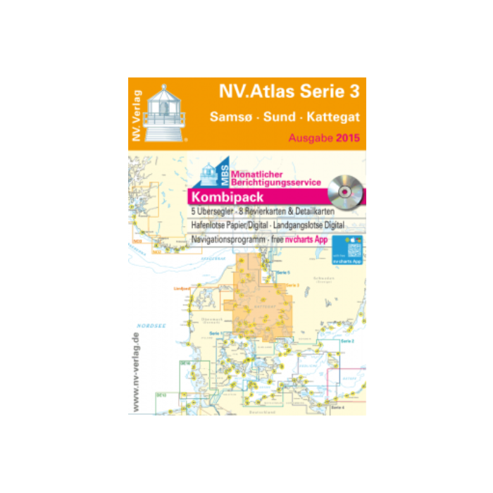
NV Atlas Serie 3 Samso - Sund - Kattegat
Ref Seashop
7011703
Barcode manufacturer
9783932414947
€ 74,28
Gegevens
NV.Atlas Serie 3 Samso - Sund - Kattegat
Format: Kombipack Papier / Digital download and App
Overview charts
Übersichtskarte Serie 3 1 : 520.000
Skagerrak 1 : 500.000
S 30 Kattegat Süd 1 : 180.000
S 31 Kattegat Mitte 1 : 180.000
S 32 Kattegat Nord 1 : 180.000
Coastal charts
S 26 Sund Nord 1 : 80.000
S 27 Roskilde Fjord Nord 1 : 40.000
S 27A Roskilde Fjord Süd 1 : 40.000
S 28 Samsø Belt 1 :100.000
S 28A Isefjord 1 : 60.000
S 29 Aarhus Bucht 1 :100.000
S 34A Mariager Fjord 1 : 55.000
S 34B Randers Fjord 1 : 55.000
Details
S 33A Ansteuerung Frederikshavn 1 : 40.000
S 33B Ansteuerung Hals 1 : 45.000
S 35A Nordansteuerung Sund 1 : 65.000
S 35B Hallands Väderö 1 : 40.000
Since decades nv charts / NV Verlag are developing nautical charts cartography in the Baltic Sea, North Sea, Kattegat, Skagerak and the Norwegian south coast. With an keen eye on details and precise local knowledge every nautical charts is designed of the best available data. In many cases with own detailed survey data, also outside the main fairways. NV Charts nautical charts are thoroughly corrected and are easy to read. NV Charts nautical charts are remarkably detailed nautical charts of high quality in paper, digital electronic nautical charts on pc / tablet andoid apple ios (with free app), digital plotter SD/microSD cards. Therefore our nautical charts are also the choice of professionals like the US Coastguard.
Passage Charts
Coastal Charts
Details
monthly correction service with email
Digital charts and software
Currents
Tides
Harbour Plans paper & digital
The nv charts are characterized by fine contours and easy to distinguish color graduations of the depth lines. The importance of good graphical representation of the topography when sailing is essential. Well marked rivers, towns and street plans all help to give a clear overall view of the shore side facilities of the islands. In waters soundings and heights are given in meters. Large scale approaches and land contour markings simplify the entrance into anchorages.
Meer informatie
| Gebied | Baltisch |
|---|---|
| Leverancier ref | 1703 |
| Barcode manufacturer | 9783932414947 |
| Merk | NV Charts |
| Medium | paper |
| products size | 1.0000 |
| Gewicht produkt | 2.0000 |
| Uitgever | nv |
Gerelateerde producten