Nautical charts
Detailed maps specially designed for navigation at sea. They show water depths, coastlines, buoys, beacons, and other important information for safe navigation.
Explore a comprehensive collection of charts and maps to navigate the seas with precision and safety. Whether you're a seasoned sailor or a novice boater, discover detailed nautical charts tailored to your region, providing essential information on depths, currents, landmarks, and navigation aids. From the coasts to offshore passages, find the right chart to plan your voyages and explore the waters with confidence
Shop By
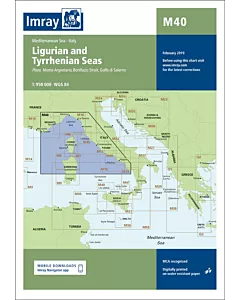 Imray M40 Ligurian and Tyrrhenian SeasSpecial Price €29.57 Regular Price €31.10
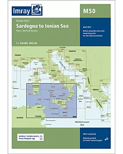 Imray M50 Sardegna to Ionian SeaSpecial Price €29.57 Regular Price €31.10
 Imray M29 Golfo di TarantoSpecial Price €29.57 Regular Price €31.10
 Imray M31 SicilySpecial Price €29.57 Regular Price €31.10
 Imray M33 Adriatic Italy (North)Special Price €29.57 Regular Price €31.10
 Imray M35 Sicilian ChannelSpecial Price €29.57 Regular Price €31.10
 Imray M19 Capo Palinuro to Punta StiloSpecial Price €29.57 Regular Price €31.10
 Imray M18 Capo d'Anzio to Capo PalinuroSpecial Price €29.57 Regular Price €31.10
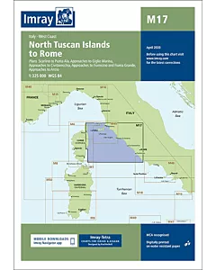 Imray M17 North Tuscan Islands to RomeSpecial Price €29.57 Regular Price €31.10
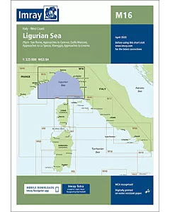 Imray M16 Ligurian SeaSpecial Price €29.57 Regular Price €31.10
 Imray M47 Aeolian IslandsSpecial Price €29.57 Regular Price €31.10
 Imray M49 West Sicily and Egadi IslandsSpecial Price €29.57 Regular Price €31.10
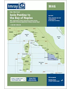 Imray M46 Isole Pontine to the Bay of NaplesSpecial Price €29.57 Regular Price €31.10
 Imray M45 Tuscan ArchipelagoSpecial Price €29.57 Regular Price €31.10
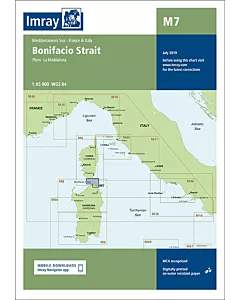 Imray M7 Bonifacio StraitSpecial Price €29.57 Regular Price €31.10
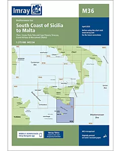 Imray M36 South Coast of Sicilia to MaltaSpecial Price €29.57 Regular Price €31.10
 NV Charts Baltic Sea Box Region 1-4Special Price €245.92 Regular Price €246.67
