Nautical charts
Detailed maps specially designed for navigation at sea. They show water depths, coastlines, buoys, beacons, and other important information for safe navigation.
Explore a comprehensive collection of charts and maps to navigate the seas with precision and safety. Whether you're a seasoned sailor or a novice boater, discover detailed nautical charts tailored to your region, providing essential information on depths, currents, landmarks, and navigation aids. From the coasts to offshore passages, find the right chart to plan your voyages and explore the waters with confidence
Shop By
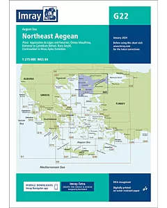
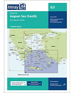 Imray G3 Aegean Sea (South)€28.47
 Imray 2140 GREVELINGENMEER AND MAAS DELTASpecial Price €81.62 Regular Price €84.56
 Imray 2160 IJSSELMEERSpecial Price €81.62 Regular Price €84.56
 Imray Y9 The WashSpecial Price €22.26 Regular Price €23.43
 Imray Y16 Walton Backwaters to Ipswich and WoodbridgeSpecial Price €22.26 Regular Price €23.43
 Y17A The Rivers Colne and BlackwaterSpecial Price €25.41 Regular Price €26.74
 Imray Y18 The River Medway and Approaches Sheerness to Rochester and River Thames Sea ReachSpecial Price €22.26 Regular Price €23.43
 Imray Y23 Poole HarbourSpecial Price €22.26 Regular Price €23.43
 Imray Y26 Milford HavenSpecial Price €22.26 Regular Price €23.43
 Imray Y33 Langstone and Chichester HarboursSpecial Price €22.26 Regular Price €23.43
 Imray Y70 Isle of ManSpecial Price €22.26 Regular Price €23.43
 Imray G121 The Inland Sea€28.47
 Imray G141 Saronikós Kólpos€28.47
 Imray G23 Marmara Denizi€28.47
 Imray G26 Nísos Évvoia€28.47