Nautical charts
Detailed maps specially designed for navigation at sea. They show water depths, coastlines, buoys, beacons, and other important information for safe navigation.
Explore a comprehensive collection of charts and maps to navigate the seas with precision and safety. Whether you're a seasoned sailor or a novice boater, discover detailed nautical charts tailored to your region, providing essential information on depths, currents, landmarks, and navigation aids. From the coasts to offshore passages, find the right chart to plan your voyages and explore the waters with confidence
Shop By
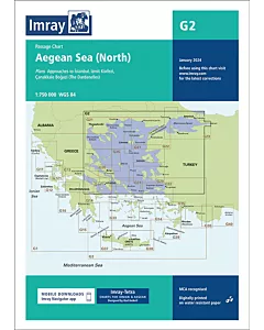 Imray G2 Aegean Sea (North)€28.47
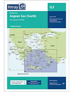 Imray G3 Aegean Sea (South)€28.47
 Imray G121 The Inland Sea€28.47
 Imray G141 Saronikós Kólpos€28.47
 Imray G23 Marmara Denizi€28.47
 Imray G26 Nísos Évvoia€28.47
 Imray G31 Northern Cyclades€28.47
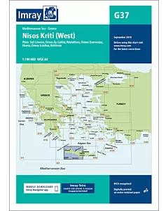 Imray G37 Nísos Kríti (West)€28.47