Nautical charts
Detailed maps specially designed for navigation at sea. They show water depths, coastlines, buoys, beacons, and other important information for safe navigation.
Explore a comprehensive collection of charts and maps to navigate the seas with precision and safety. Whether you're a seasoned sailor or a novice boater, discover detailed nautical charts tailored to your region, providing essential information on depths, currents, landmarks, and navigation aids. From the coasts to offshore passages, find the right chart to plan your voyages and explore the waters with confidence
Shop By
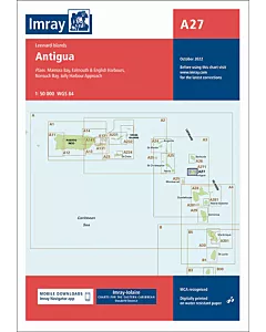 Imray A27 AntiguaSpecial Price €29.57 Regular Price €31.10
 Imray A271 North Coast of AntiguaSpecial Price €29.57 Regular Price €31.10
 Imray A28 GuadeloupeSpecial Price €29.57 Regular Price €31.10
 Imray A281 Anchorages in Guadeloupe, Les Saintes and Marie-GalanteSpecial Price €29.57 Regular Price €31.10
 Imray A29 DominicaSpecial Price €29.57 Regular Price €31.10
 Imray A30 MartiniqueSpecial Price €29.57 Regular Price €31.10
 Imray A301 Martinique- South and East CoastsSpecial Price €29.57 Regular Price €31.10
 Imray B1 St Lucia€28.47
 Imray B2 Barbados€28.47
 Imray B3 The Grenadines€28.47
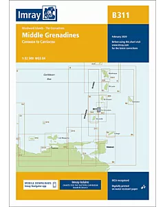
 Imray B311 Middle Grenadines€28.47
 Imray B4 Tobago€28.47
 Imray D VenezuelaSpecial Price €29.57 Regular Price €31.10
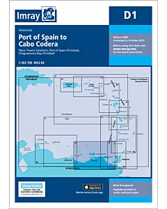 Imray D1 Port of Spain to Cabo CoderaSpecial Price €29.57 Regular Price €31.10
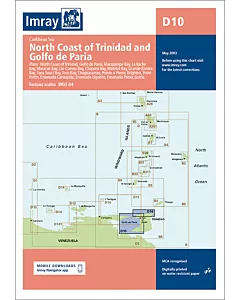 Imray D10 North Coast of Trinidad and Golfo de PariaSpecial Price €29.57 Regular Price €31.10
 Imray D11 Trinidad to CarupanoSpecial Price €29.57 Regular Price €31.10
 Imray D12 Carupano to Cumana and Isla de MargaritaSpecial Price €29.57 Regular Price €31.10
 Imray D13 Isla de Margarita to CareneroSpecial Price €29.57 Regular Price €31.10