Nautical charts
Detailed maps specially designed for navigation at sea. They show water depths, coastlines, buoys, beacons, and other important information for safe navigation.
Explore a comprehensive collection of charts and maps to navigate the seas with precision and safety. Whether you're a seasoned sailor or a novice boater, discover detailed nautical charts tailored to your region, providing essential information on depths, currents, landmarks, and navigation aids. From the coasts to offshore passages, find the right chart to plan your voyages and explore the waters with confidence
Shop By
 NV Atlas England UK1 - Scilly Isles to Start PointSpecial Price €63.60 Regular Price €64.43
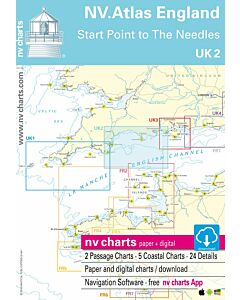 NV Atlas England UK2 - Start Point to the NeedlesSpecial Price €63.60 Regular Price €64.38
 NV Atlas England UK3 - The SolentSpecial Price €63.60 Regular Price €64.38
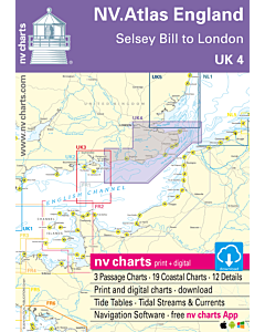 NV Atlas England UK4 - Selsey Bill to LondonSpecial Price €63.60 Regular Price €64.38
 NV Atlas England UK5 - Thames Estuary to Great YarmouthSpecial Price €63.60 Regular Price €64.38
 NV Atlas Croatia HR1 - Trieste to VodiceSpecial Price €63.60 Regular Price €64.38
 NV Atlas Croatia HR2 - Vodice to Dubrovnik & MontenegroSpecial Price €63.60 Regular Price €64.38